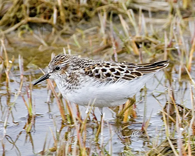
Least Sandpiper (Calidris minutilla)Where and when to see it in the UK
Scarce migrant · reporting peaks July · Sandpipers and Allies · BOU category A
Too few records to rate squares by month. Each marked square has at least one record; the table below gives the count and years.
Contains OS data © Crown copyright and database right 2026 (grid squares, place names from OS Open Names). Northern Ireland place names: OSNI Open Data, OGL v3.0. County and country boundaries: Office for National Statistics, Open Government Licence v3.0. Coastline: Natural Earth. Bird records from the data partners listed here.
Least Sandpiper has been recorded in 15 of the 2,971 10 km squares covering UK land (1%) in records to 2026. Scarce migrant in the UK. Reporting peaks in July.
Conservation status: Near Threatened (IUCN Red List, NT)
View on the IUCN Red ListRecords by 10 km square
| Square | Where | Records | Years | Verified |
|---|---|---|---|---|
| ST24 | Somerset, England | 5 | 2025 | unverified |
| SZ89 | West Sussex, England | 2 | 2025 | unverified |
| TA41 | East Riding of Yorkshire, England | 7 | 2024 | unverified |
| SW42 | Cornwall, England | 15 | 2022 | unverified |
| SS78 | Neath Port Talbot, Wales | 1 | 2022 | unverified |
| SY68 | Dorset, England | 37 | 2017 | unverified |
| SY29 | Devon, England | 5 | 2016 | unverified |
| SV80 | Sea, off Isles of Scilly | 2 | 2015 | unverified |
| SV81 | Isles of Scilly, England | 8 | 2011 | unverified |
| SE40 | Barnsley, England | 5 | 2011 | unverified |
| SW53 | Cornwall, England | 7 | 2006 | unverified |
| SX64 | Devon, England | 5 | 2005 | unverified |
| SP91 | Buckinghamshire, England | 35 | 2003 | unverified |
| SP29 | Warwickshire, England | 19 | 2002 | unverified |
| SK20 | Warwickshire, England | 1 | 2002 | unverified |